Author: adminTGX
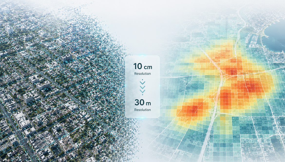
The Illusion of Density: How the “More Data” Trap Hijacks Enterprise GeoAI Decisions
We live in an era where we are conditioned to believe that more is always better. In the rapidly evolving fields of spatial data science and geospatial artificial intelligence (GeoAI), this bias is incredibly prevalent. When it comes to data, our instincts tell us that higher resolution, tighter focus, and sharper detail will naturally lead […]
Read More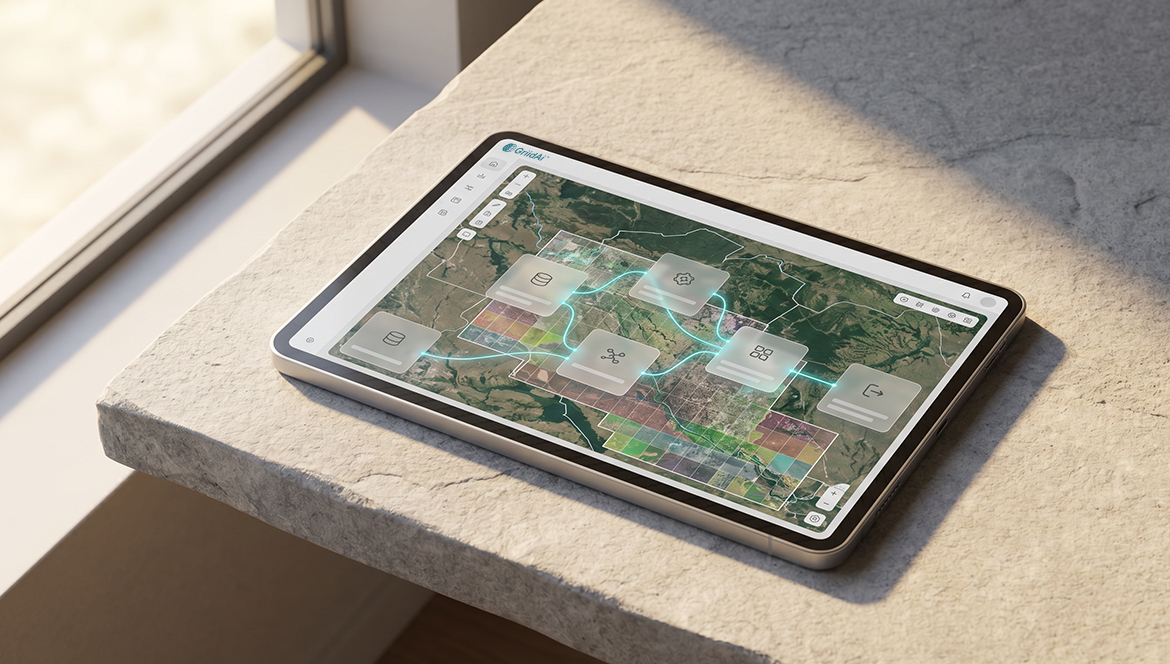
The Repeatability Gap: Why GIS Professionals Rebuild Instead of Reuse
Geospatial analysis is an inherently complex science, requiring deep domain expertise to interpret the physical world. Yet, if you audit the daily workflow of an average GIS professional, you will uncover a frustrating paradox: a staggering portion of their time is spent executing routine, highly repeatable operations includes: Data ingestion, Coordinate Reference System (CRS) harmonization, […]
Read More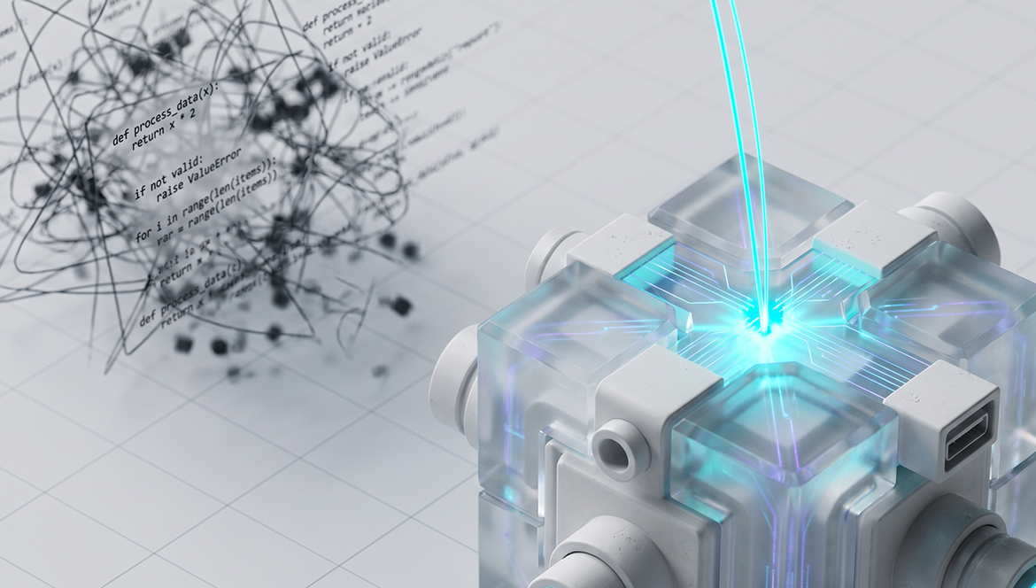
Why You Should Stop Writing Python for GIS (And Start Orchestrating Logic)
For the better part of the last decade, the geospatial industry has aggressively pushed a single, seemingly foolproof solution to overcome the limitations of desktop software: “Learn Python.” The promise was intoxicating. By mastering Python for GIS, analysts were told they could finally escape the manual, repetitive clicking of the desktop user interface. They could […]
Read More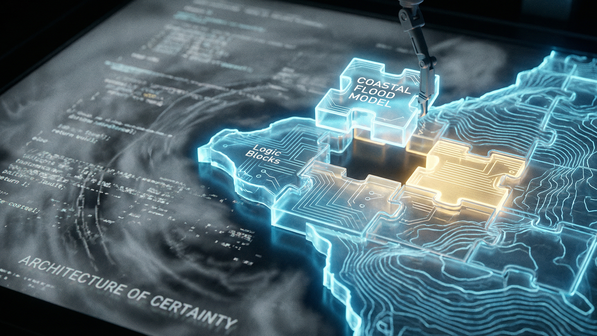
Sustainable AI in Action: How Reusable Logic Blocks Save More Than Just Time
We need to talk about the hidden cost of the “messy middle” in spatial data engineering. When we discuss the infamous 80/20 trap, the reality that geospatial professionals spend 80% of their time cleaning data and only 20% performing actual science, we usually frame it as a productivity problem. We talk about the burnout of […]
Read More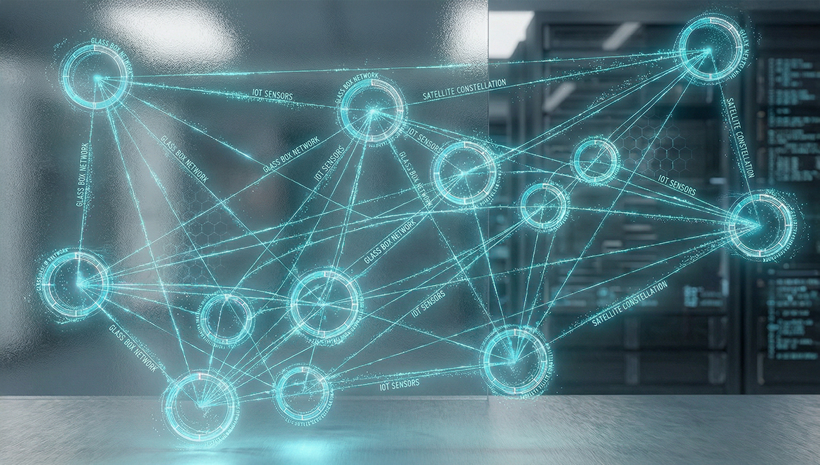
Beyond the Legacy GIS Bottleneck: Why the Industry is Shifting to Geospatial Intelligence Platforms
We are currently living in the most data-rich era in human history. Between a growing constellation of high-resolution satellites, a global network of IoT sensors, and the explosion of mobile location data, we have more “pixels” and “points” than people on the planet. For a geospatial professional, this should be a golden age—a time of […]
Read More