The Repeatability Gap: Why GIS Professionals Rebuild Instead of Reuse
Jun 18, 2026 @ 14:54
- by adminTGXGeospatial analysis is an inherently complex science, requiring deep domain expertise to interpret the physical world. Yet, if you audit the daily workflow of an average GIS professional, you will uncover a frustrating paradox: a staggering portion of their time is spent executing routine, highly repeatable operations includes:
Data ingestion, Coordinate Reference System (CRS) harmonization, Spatial joins, Raster preprocessing, Geometry repairs and other geospatial analysis processes.
These foundational tasks are the prerequisites for actual spatial science. They are performed on nearly every project, week after week. Logically, these workflows should be built once, validated, and reused indefinitely. But in reality, the vast majority of geospatial professionals execute these tasks manually, rebuilding their data pipelines from scratch for every new initiative.
This phenomenon is the Repeatability Gap—the massive chasm between the theoretical efficiency of spatial automation and the manual reality of daily GIS work.
To understand why highly intelligent data scientists are stuck acting as manual “data janitors,” we have to stop blaming the user and start examining the profound failure of legacy GIS tooling.
The Anatomy of the Trap: Why Rebuilding Persists
When an analyst chooses to manually reproject a stack of rasters and run spatial joins from scratch rather than reusing an old workflow, it is not out of laziness. It is a calculated survival tactic. In the legacy desktop GIS ecosystem, the friction of reusing a workflow is often higher than the friction of simply rebuilding it.
Legacy systems offer two primary mechanisms for reuse, and both are fundamentally flawed:
1. The Brittle Visual Model Builder
Most traditional desktop GIS platforms feature a visual model builder—a drag-and-drop interface meant to chain geoprocessing tools together. While helpful for a single, isolated project, these models are notoriously brittle. If a single file path changes, if a dataset’s schema is slightly altered, or if a software update deprecates a specific tool, the entire model breaks. Diagnosing where the chain snapped often takes longer than just running the individual tools manually.
2. The “Frankenstein” Python Script
The alternative to visual builders is scripting. Every veteran analyst has a folder full of “Frankenstein scripts”—massive blocks of Python or R that have been copy-pasted, patched together, and modified over years. But sharing or reusing these scripts is a nightmare. They are hardcoded to local machine environments, lack proper versioning, and require meticulous, manual reconfiguration of variables for every new run.
Faced with a brittle visual model or a tangled Python script created by a former colleague three years ago, the rational GIS professional makes a simple choice: “It will be faster and safer if I just rebuild it myself.”
The Hidden Risks of Rebuilding: Cost and Certainty
The persistence of the Repeatability Gap extracts a heavy toll on enterprise organizations, manifesting in two critical ways: the operational tax and the scientific risk.
The Operational Tax
When highly paid analysts spend most of their time rebuilding routine data-prep pipelines, the organization is paying a massive “Data Janitor tax.” Innovation stalls because the team is trapped in a cycle of manual maintenance. Furthermore, institutional knowledge fails to compound.
The Degradation of Scientific Integrity
The more dangerous risk of the Repeatability Gap is the threat it poses to accuracy. Reproducibility is the bedrock of the scientific method. If an analysis cannot be reliably reproduced, its conclusions cannot be fully trusted.
Every time a workflow is rebuilt from scratch, it introduces a new window for human error. It creates an opportunity for an overlooked CRS mismatch, an omitted spatial filter, a misaligned bounding box, or a different raster resampling method. When modeling coastal inundation zones, calculating supply chain logistics, or determining critical infrastructure placement, a “minor” spatial error caused by a manually rebuilt pipeline can result in catastrophic real-world failures.
Redefining Workflow Reuse: An Engineering Standard
If the geospatial industry is going to mature, it must abandon the fragmented, manual practices of the past and adopt rigorous software engineering standards. True workflow reuse cannot mean sharing a text file of Python code.
A genuinely reusable spatial workflow must adhere to four strict pillars:
- Immutable: The core logic, once mathematically and scientifically validated by an expert, is locked. It does not change or degrade over time unless intentionally edited and versioned.
- Parameterizable: The workflow must be dynamic. The analyst must be able to swap out inputs (e.g., changing the study area from Seattle to Miami, or updating 2023 demographic data to 2024 data) without breaking the underlying analytical structure.
- Auditable: The workflow cannot be a “black box.” Every step, every mathematical function, and every geoprocessing tool must remain completely visible, traceable, and easily reviewed by stakeholders or peer analysts.
- Shareable: The workflow must exist in a cloud-native environment, easily accessible by the original author across different projects, or seamlessly deployed to trusted peers across the enterprise to ensure organizational standardization.
When a platform guarantees these four pillars, rebuilding becomes obsolete.
Closing the Gap with GriidAI: The Architecture of Certainty
GriidAI was engineered specifically to close the Repeatability Gap. We believe that spatial professionals should not be punished by their tooling for trying to scale their insights.
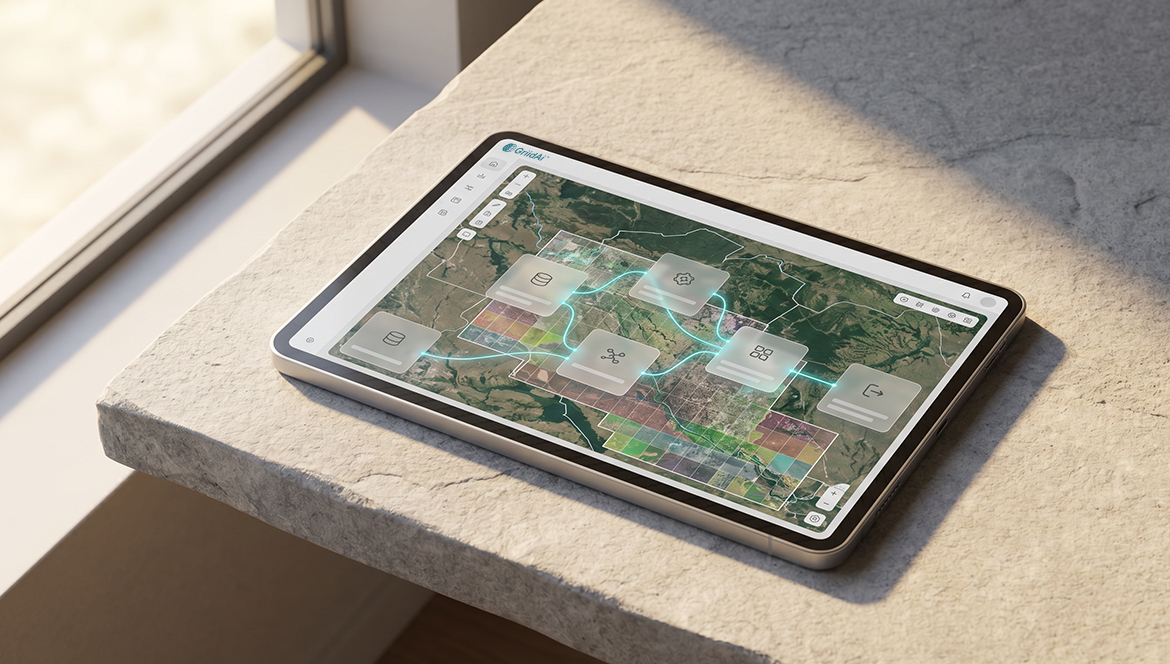
In GriidAI, workflows are not viewed as ephemeral tasks to be discarded at the end of the day. They are treated as executable, versioned assets known as Logic Blocks.
When an analyst uses GriidAI’s natural language engine to orchestrate a complex pipeline—such as standardizing a dozen global climate rasters, aligning their CRS, and clipping them with municipal boundary data—the platform generates a transparent, step-by-step analytical plan.
Once the human expert reviews and validates the science behind that plan, the engine executes the math. But crucially, that validated pipeline can then be saved as a Logic Block.
The Shift from Rebuilding to Orchestrating
When the analyst needs to run that exact same climate risk model for a new city the following week, they do not rebuild the data pipeline. They simply call upon the saved Logic Block, input the new city’s boundary constraints, and let the engine orchestrate the routine data ingestion and harmonization.
GriidAI allows inputs to vary while the validated structure remains perfectly intact. The entire enterprise team can access a shared library of these verified Logic Blocks, ensuring that junior analysts and senior scientists alike are using the exact same, mathematically sound methodology.
Most importantly, this automation does not sacrifice control. GriidAI is built on a strict “Human-in-the-Loop” validation model. Even when deploying a highly complex, reused Logic Block, the professional remains in full authority. The system presents the execution plan, and the AI will never run the analysis autonomously without the expert’s explicit approval.
The Future of Spatial Engineering
For decades, the ability to rapidly rebuild complex, manual data pipelines has been worn as a badge of honor among GIS veterans. It was a testament to their grit and their mastery over difficult software.
But rebuilding is not a badge of expertise. It is a symptom of inadequate tooling.
The era of the Tool Operator is coming to an end. The future belongs to the Spatial Orchestrator—professionals who leverage AI to eliminate the friction of routine data engineering, allowing them to focus entirely on geographic strategy and scientific interpretation.
The Repeatability Gap can be closed. By treating spatial workflows as immutable, parameterizable assets, we can reclaim our time, compound our institutional knowledge, and establish a true Architecture of Certainty in geospatial analysis.